
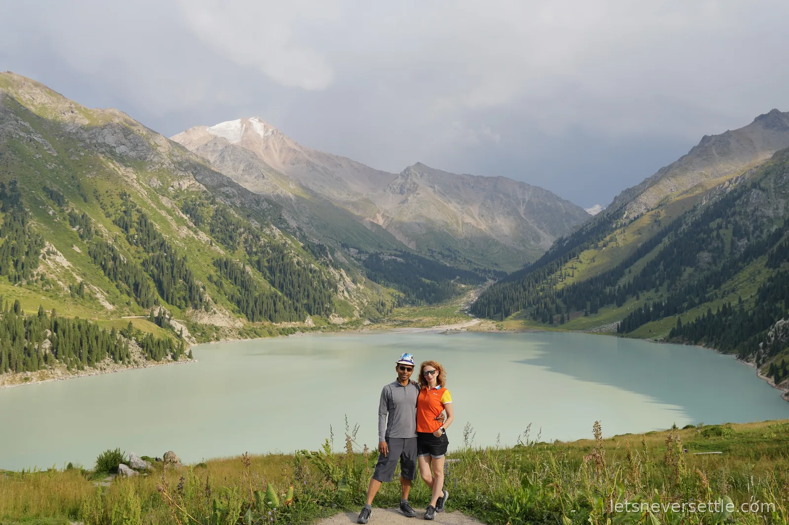
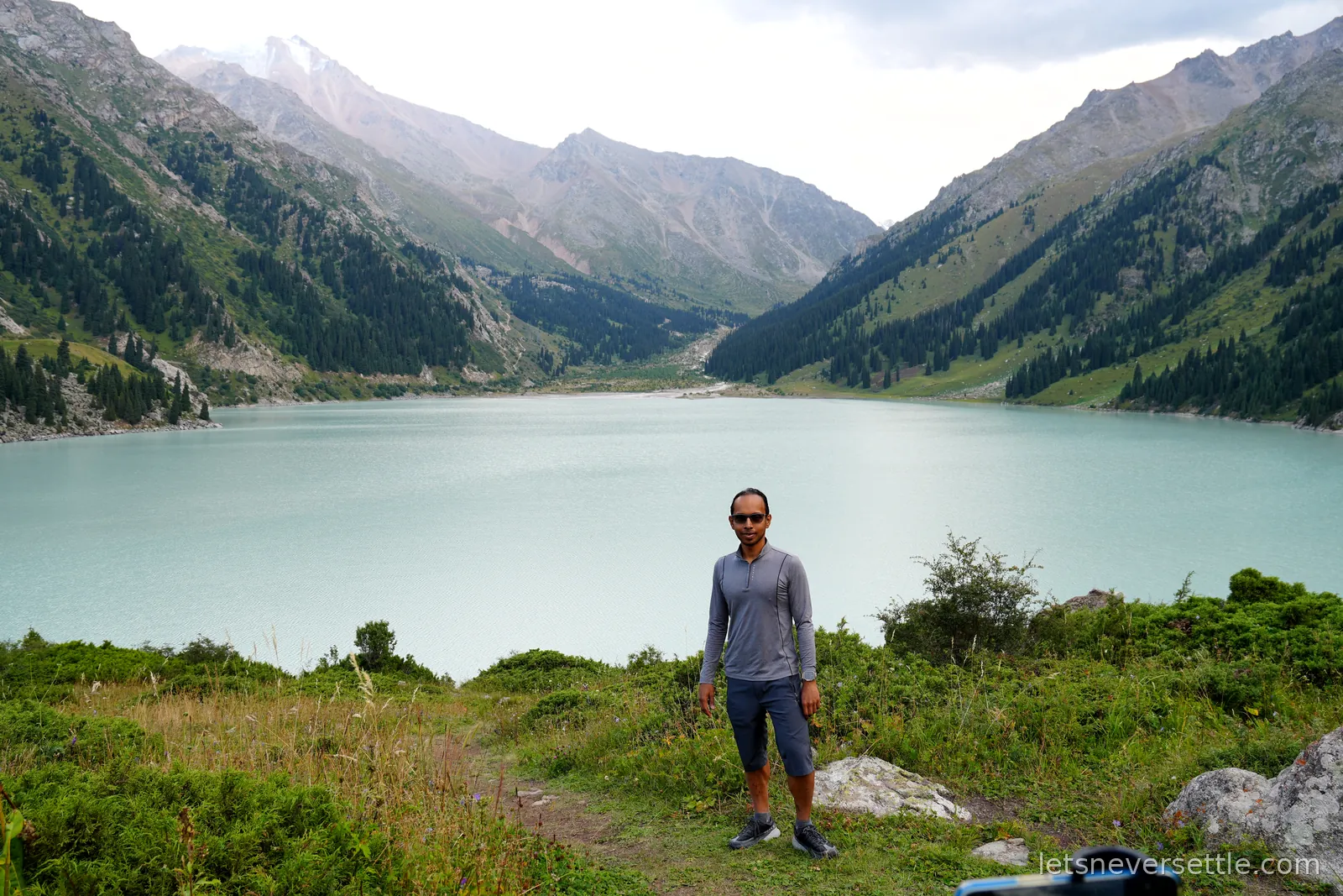
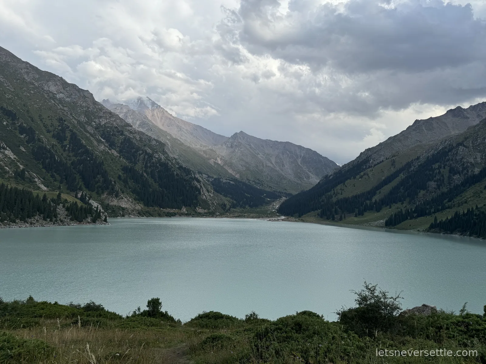
The classic day out from Almaty. You climb the road into the mountains until the valley opens onto a bowl of milky turquoise water with glacier-topped peaks behind it. Photos don't oversell it.
Getting there
It's easier than it looks on a map. Take an ordinary taxi through the Yandex app as far as the checkpoint, which any driver in the city will know. You can't carry on in a normal car from there, so at the checkpoint you hire a jeep and a guide for the rest of the climb. That's the whole trick to it.
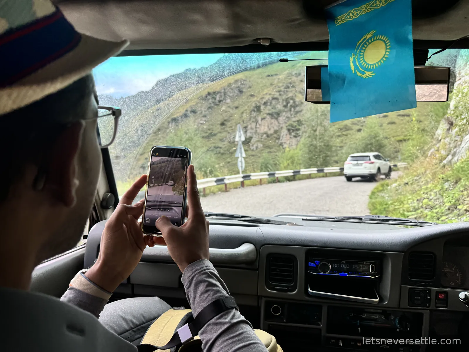
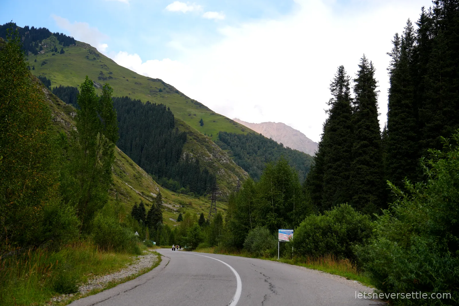
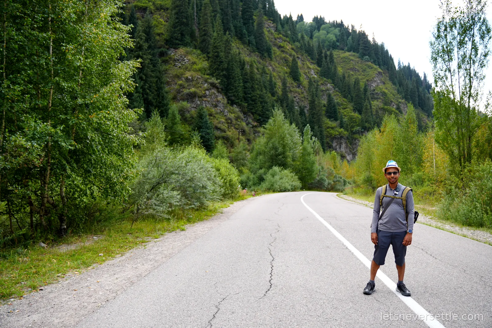
The lake sits about 15 km from the city and the drive takes roughly an hour. People also come up by bike, or walk it as a half-day hike. Either way you pay a national park entry fee on the way in.
What you're looking at
The lake sits at 2,511 metres in the Ile-Alatau National Park, at the top of the Almaty canyon, and the Almaty river runs straight through it. Like most lakes in the Tien Shan it was made by earthquakes rather than glaciers, though glacial melt is what fills it.
It runs 1.6 km long by about a kilometre wide, roughly 40 metres deep, with a shoreline of 3 km and banks that drop away steeply. The level is at its highest in August and its lowest in February, and the difference between the two can be 20 metres. The colour moves with the season too, from light green through to the turquoise we got.
Three peaks stand over it, all visible from the northern end of the dam: Sovetov at 4,317 metres to the south east, Ozyorny at 4,110 metres to the south, and Turist at 3,954 metres to the south west. Higher up the valley, above the bowl of the lake, sits the domed Tien Shan Astronomical Observatory, which is open to visitors and has rooms.
One thing to know before you get any ideas: this is Almaty's drinking water, so swimming is banned. At 8 to 10 degrees it wasn't a tempting proposition anyway.
More from this city in our three Almaty trips.